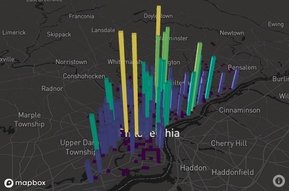
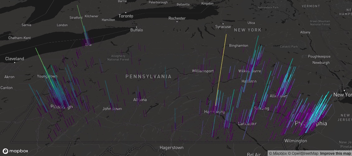
Utilizes the PENNDOT Open Data crash data report (https://pennshare.maps.arcgis.com/apps/webappviewer/index.html?id=8fdbf046e36e41649bbfd9d7dd7c7e7e) to create a heatmap using Mapdeck to display all alcohol-related car crashes in any county in Pennsylvania in the year of your choosing.
Can also be used to display data statewide if you so choose. The only change needed for that is a stylistic one where you will want a larger elevation_scale value to see the columns from a farther vantage point on the map.

