This project was bootstrapped with Create React App.
Below you will find some information on this project.
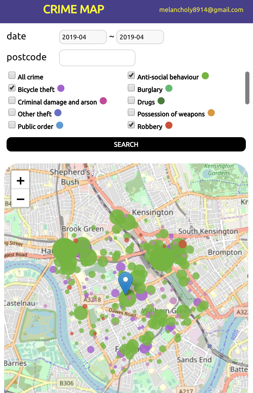
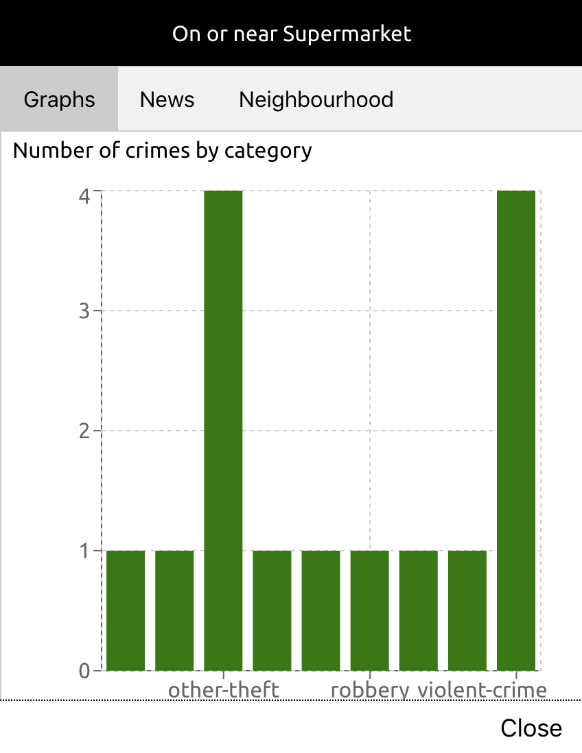
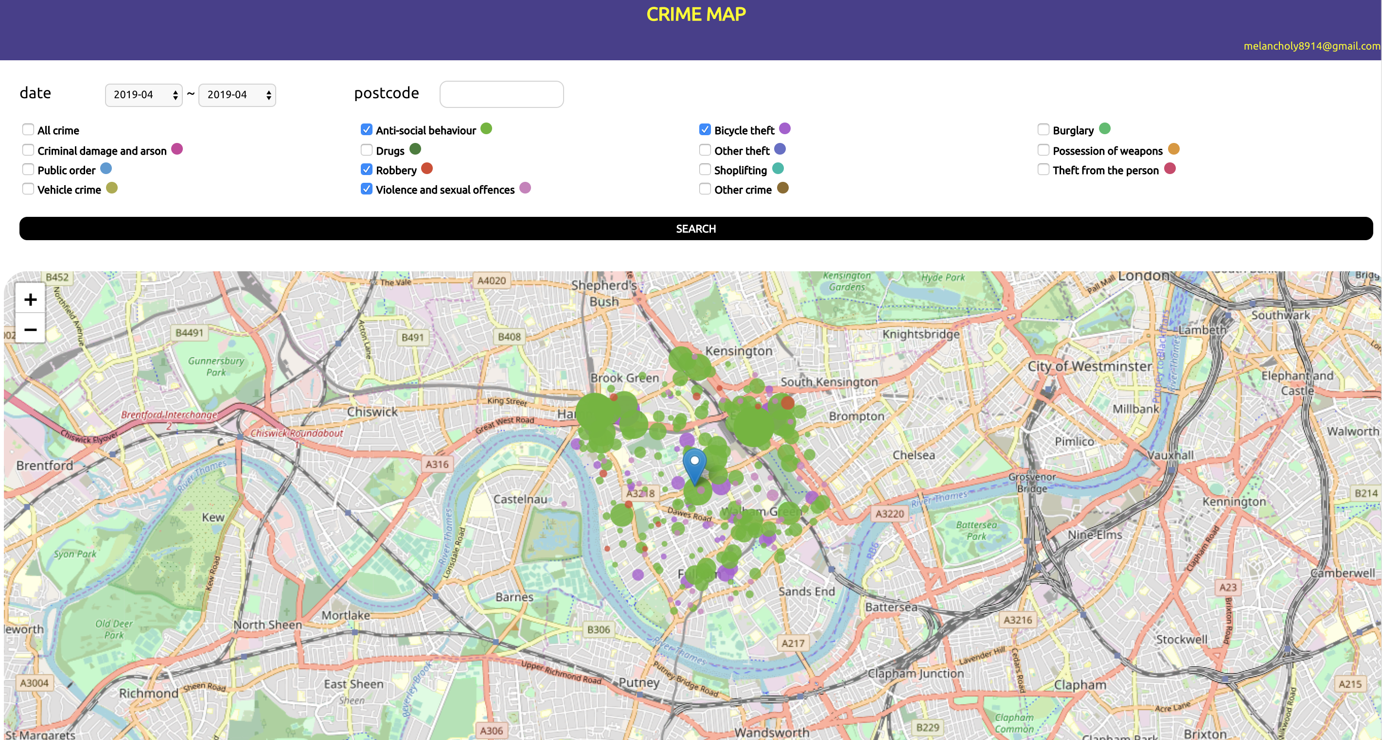
This project shows several types of crime which happened on specific date and location in UK through a map. In addition, you can get information on a selected crime; graphs, news, and neighbours.
You can try by clicking here
- Search: You can search crimes by selecting range of dates and inputting a postcode. Your location which may be used instead of empty postcode is available to detect automatically if you allow this to do.
- Select: You can select only ones you want to see amongst searched crimes by clicking checkboxes.
- View in details: You can view a specific crime by clicking a circle which means each crime on the map.
Data is dealt with using RESTful API and responded by below APIs:
- Crime:
https://data.police.uk/api - News:
https://open-platform.theguardian.com/documentation/ - Location:
https://open.mapquestapi.com/geocoding/v1
This project supports responsive web application.
In cases you would like to check updates, open the changelog, find the version you’re currently on (check package.json in this folder if you’re not sure).
I am always open to your feedback. Or, if you have ideas for more functionalities that should be on this page, let me know.


